

The lake above the ocean: Sørvágsvatn and the hike to Trælanípa
How to see the famous floating lake of the Faroe Islands: where the Trælanípa hike starts, what it costs, how long it takes and why it seems to hang above the ocean.
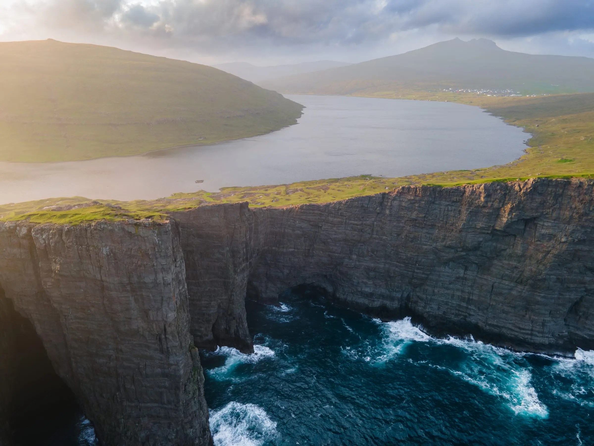
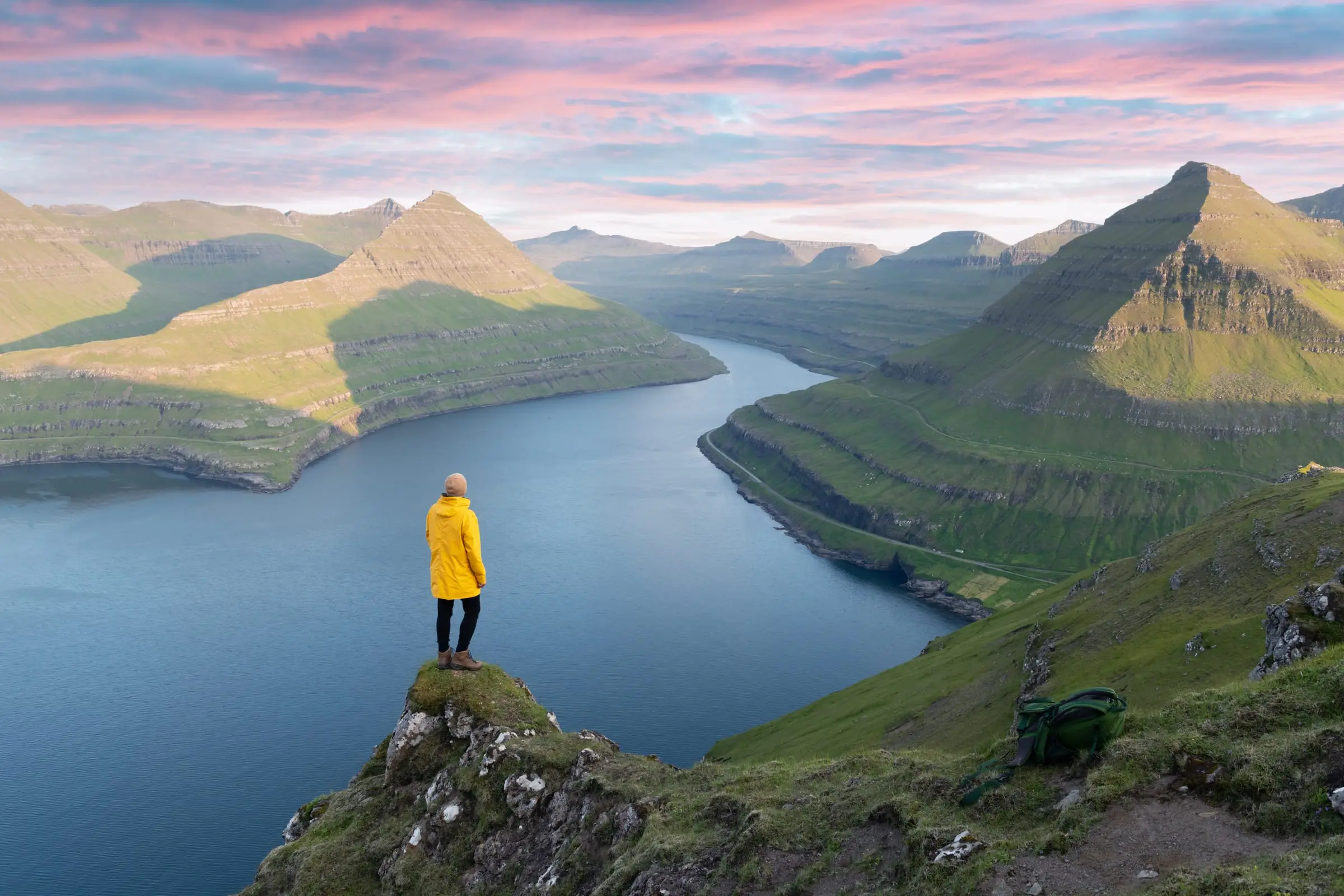
It is the most famous photo of the Faroe Islands: a lake that seems to hang above the Atlantic. It is on Vágar, the airport island, and you see it from the Trælanípa cliff, a rock wall 142 metres above the sea.
Why it seems to float
It is an optical illusion. The lake, Sørvágsvatn (or Leitisvatn, depending on which village you ask), is the largest in the country and drains into the sea over the Bøsdalafossur waterfall, about 30 metres high. From the top of Trælanípa, the angle makes the lake look as if it sits far above the ocean.
How to get there and what it costs
- Where it starts: in Miðvágur. From the main road, turn by the church and follow the “Trælanípa/Bøsdalafossur” signs to the gate and the reception.
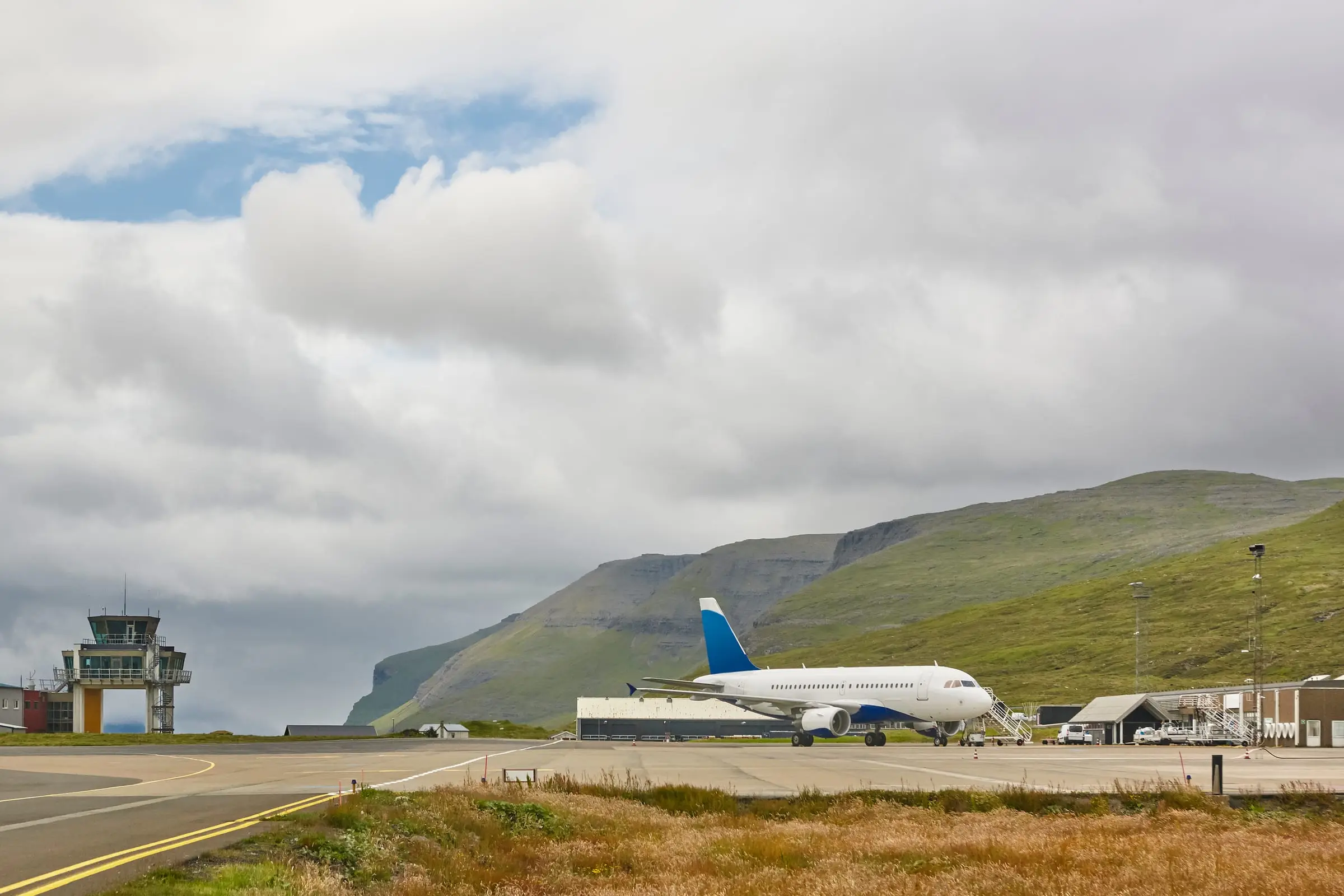
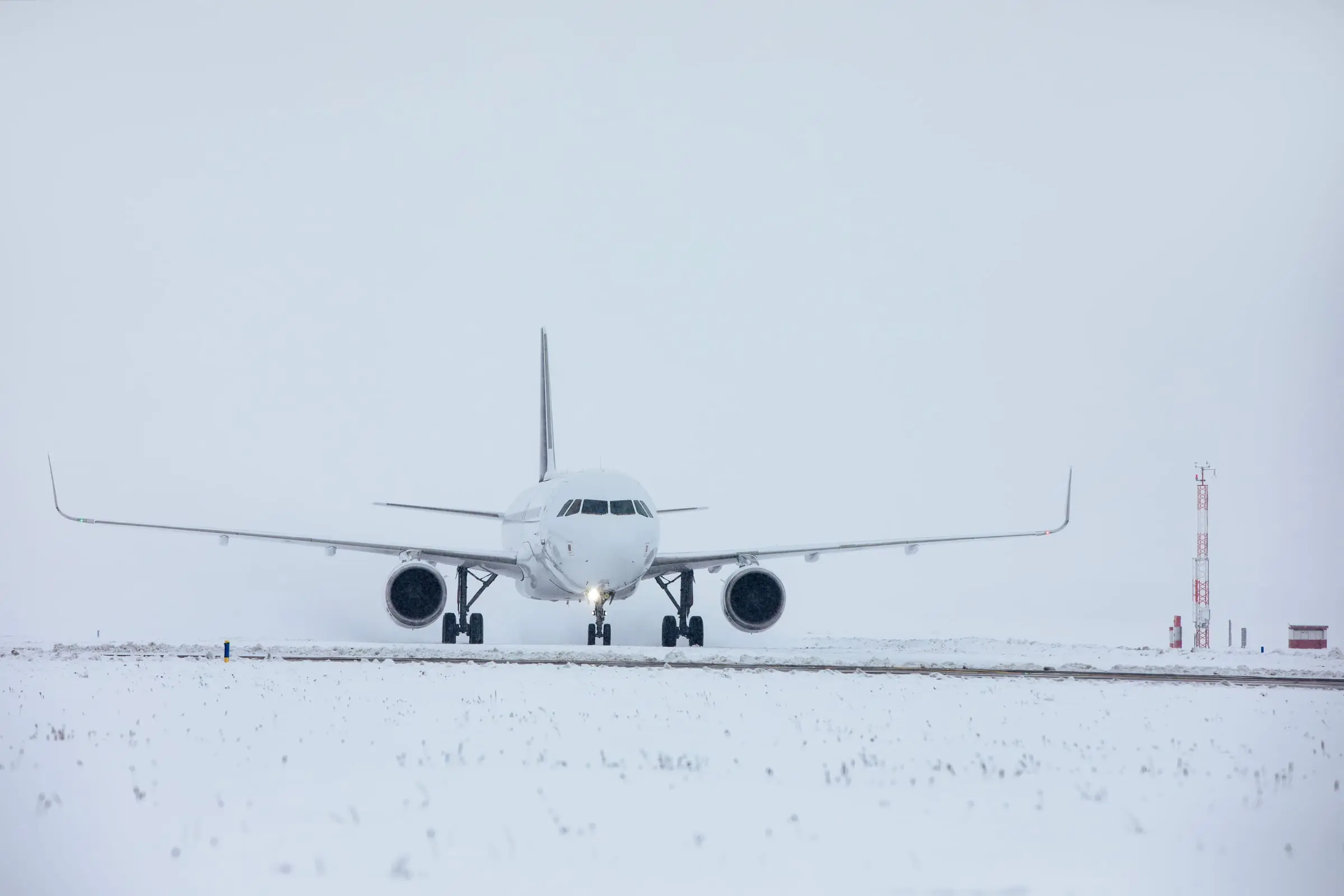
- From the airport: about 5 minutes by car. You do not need to go through any toll tunnel.
- Price: 200 DKK per adult without a guide. With a guide, 450 DKK (children aged 7 to 14, 150 DKK). You pay at the reception and cards are accepted.
- Guided visits: departures at 9:00, 12:00 and 15:00. Book at tralanipan.fo.
- Facilities: parking, toilets and a hut with hot drinks, cakes and Faroese food.
The hike
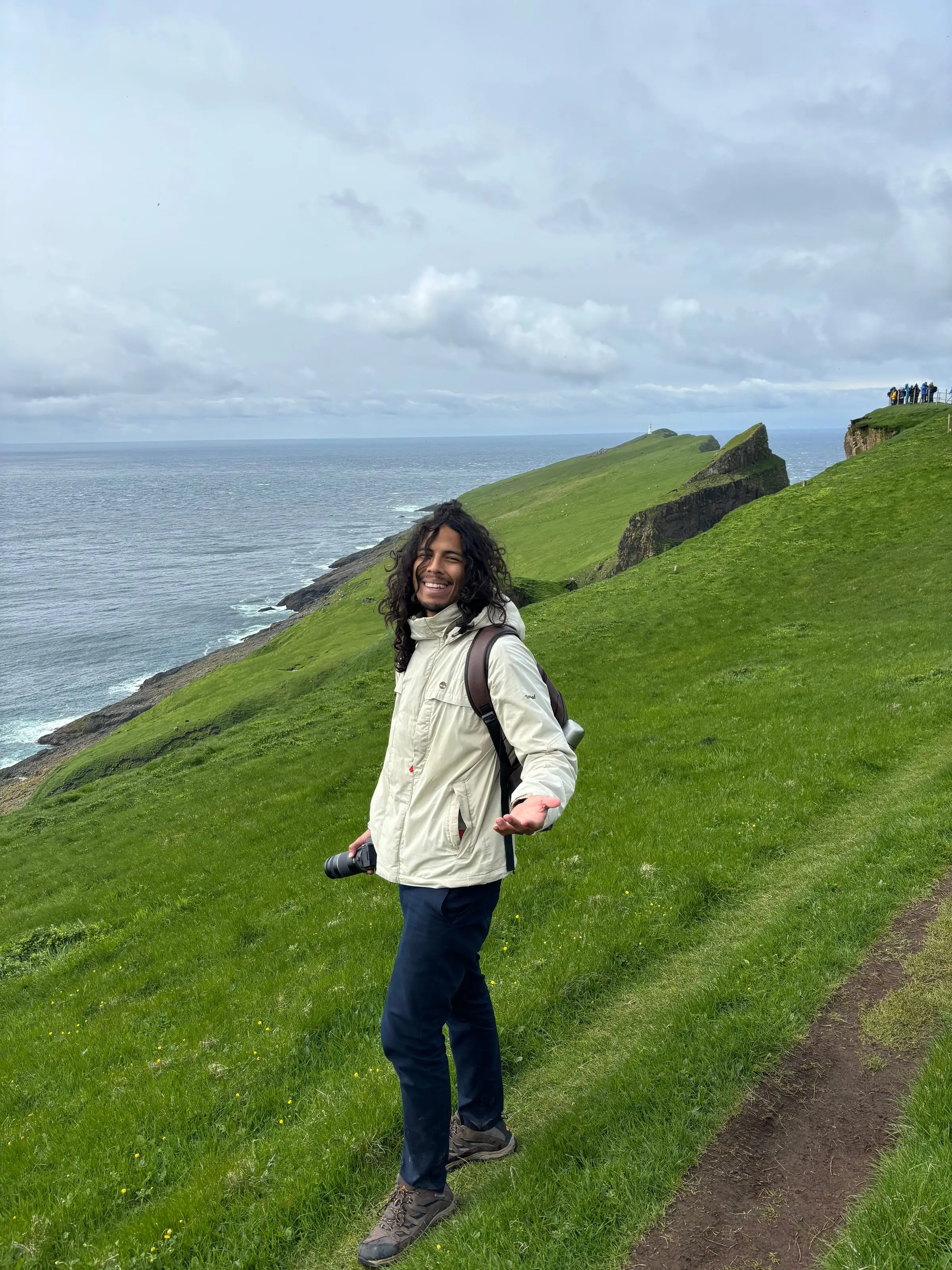
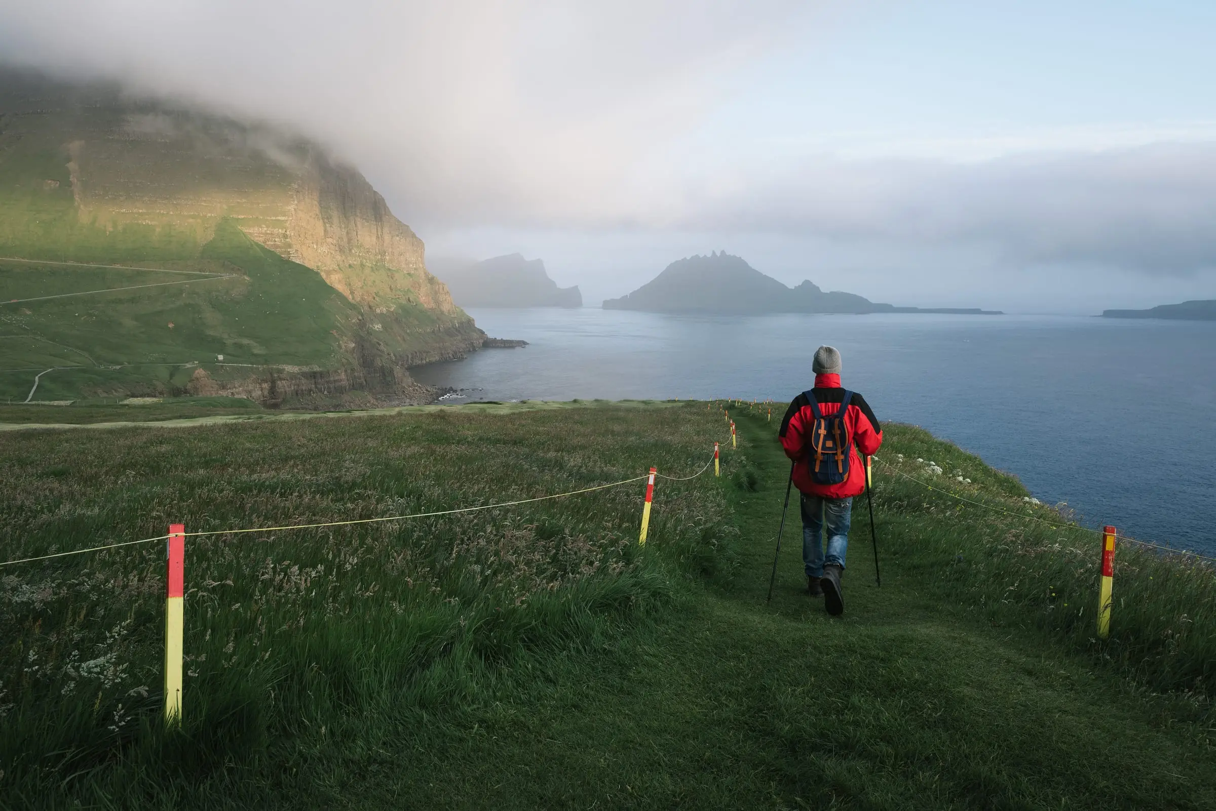
About 45 minutes each way on a marked gravel path, without big climbs, along the lakeshore. At the end you reach the Trælanípa viewpoint and the Bøsdalafossur waterfall. On a clear day you will also see the islands of Hestur, Koltur, Sandoy and Suðuroy.
Tips
- Go early or late in the day to avoid the groups that arrive after the flights.
- Bring a windproof jacket and hiking boots: although the hike is easy, the ground can be wet.
- Check the weather on vedur.fo: in fog you will not see the lake effect.
Frequently asked questions
Is the lake really above the sea?
No. It is an optical illusion. The lake is about 30 metres above sea level, but from the Trælanípa viewpoint, which is much higher, it seems to float above the ocean.
How long does it take to reach the viewpoint?
About 45 minutes each way from the entrance, on a fairly flat gravel path. Allow about two hours in total with photo stops.
How much does it cost?
200 DKK per adult without a guide. The guided visit costs 450 DKK and includes an information leaflet.
What is the lake called, Sørvágsvatn or Leitisvatn?
Both. People from Sørvágur call it Sørvágsvatn and people from Miðvágur call it Leitisvatn. It is the largest lake in the Faroe Islands.