


The best hiking trails in the Faroe Islands
A selection of hiking trails in the Faroe Islands by island, with distance, duration, ascent and difficulty: from family walks to old paths between villages.
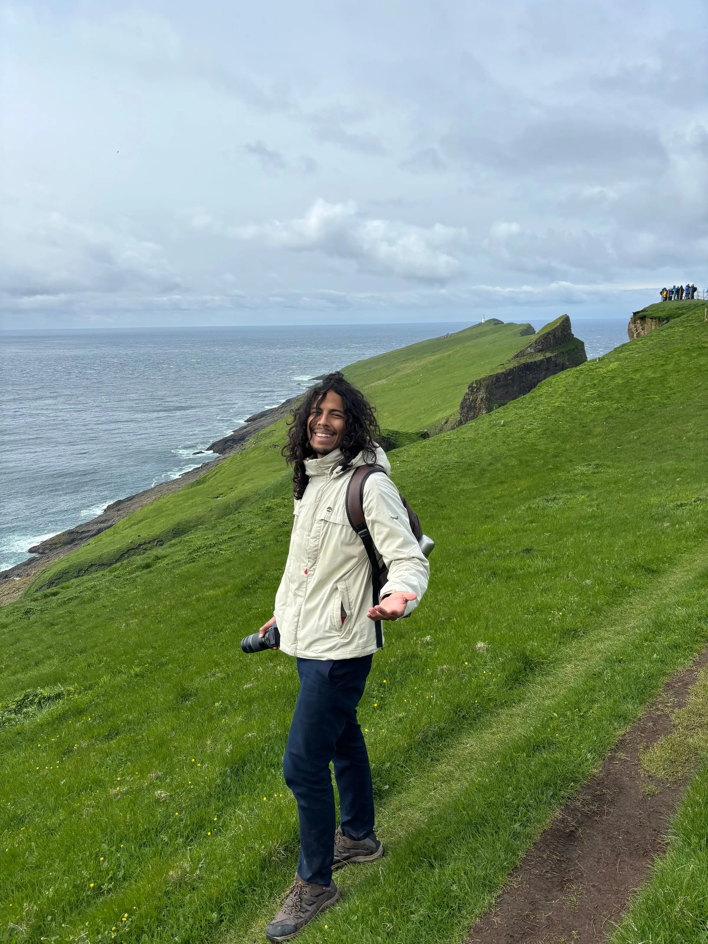
Many trails in the Faroe Islands follow the old paths between villages, marked with stone cairns, which were used before there were roads and tunnels. This is our selection, from family walks to half-day hikes.
Our selection
Streymoy
Saksun - Tjørnuvík
- Distance
- 7.1 km
- Duration
- 2 h 25 min
- Ascent
- 529 m
The old path between two of the most beautiful villages in the country.
More about the areaEysturoy
Funningur - Gjógv
- Distance
- 3.8 km
- Duration
- 1 h 20 min
- Ascent
- 307 m
Short and scenic; it ends at the Gjógv gorge.
More about the areaVágar
Bøur - Gásadalur
- Distance
- 2.7 km
- Duration
- 1 h 5 min
- Ascent
- 304 m
The old postman’s path, used before the 2004 tunnel. Short but steep.
More about the areaVágar
Sørvágur - Slættanes
- Distance
- 9.7 km
- Duration
- 2 h 50 min
- Ascent
- 421 m
To an abandoned village on the north coast of Vágar.
Streymoy
Tórshavn - Kirkjubøur
- Distance
- 5.5 km
- Duration
- 1 h 40 min
- Ascent
- 212 m
The historic path from the capital to the medieval centre of the islands.
Family-friendly
More about the areaBorðoy (northern islands)
Klaksvík - Klakkur
- Distance
- 9 km
- Duration
- 2 h 35 min
- Ascent
- 406 m
A climb to the viewpoint above Klaksvík and the northern fjords.
Family-friendly
More about the areaKalsoy
Mikladalur - Trøllanes
- Distance
- 4.2 km
- Duration
- 1 h 45 min
- Ascent
- 402 m
Between the two villages in the north of Kalsoy, near Kallur lighthouse.
More about the areaEysturoy
Rituvík - Lamba
- Distance
- 4.5 km
- Duration
- 1 h 30 min
- Ascent
- 244 m
Easy and family-friendly, along the east coast of Eysturoy.
Family-friendly
Borðoy (northern islands)
Múli - Lambagjógv
- Distance
- 2.7 km
- Duration
- 45 min
- Ascent
- 72 m
A short walk in one of the most remote corners of the country.
Family-friendly
Nólsoy
Nólsoy - Bogin
- Distance
- 2.6 km
- Duration
- 50 min
- Ascent
- 47 m
A flat circular walk on the island facing Tórshavn.
Circular Family-friendly
Nólsoy
Nólsoy - Borðan
- Distance
- 13.8 km
- Duration
- 4 h
- Ascent
- 410 m
The big circular route on Nólsoy, to the lighthouse in the south of the island.
Circular Family-friendly
Suðuroy
Hvannhagi
- Distance
- 6 km
- Duration
- 2 h
- Ascent
- 371 m
A circular route to a hidden valley with a lake, on the southern island.
Circular Family-friendly
Distance, duration, ascent and difficulty according to the Visit Faroe Islands database. Difficulty on its scale: easy, moderate, difficult or expert. Trails are one-way unless marked as circular. Data checked on 15 October 2026 atVisit Faroe Islands: hiking trail finder.
Before you set off
- Check the weather and do not start in fog. The times for each trail are a guide: wind and rain make them longer.
- Many trails are one-way: think about how you will get back (the same way, by bus or with a second car).
- Read our rules for hiking safely and the list of what to pack.
Frequently asked questions
What is the most beautiful hike in the Faroe Islands?
It depends on what you are looking for. Among the most popular are Saksun - Tjørnuvík, on the old path between villages, and the hike to the lake above the ocean on Vágar. Kallur lighthouse, on Kalsoy, is another of the most photographed.
Are there easy trails to do with children?
Yes. Nólsoy - Bogin is a flat circular walk of under an hour, and trails such as Tórshavn - Kirkjubøur or Klaksvík - Klakkur are listed as suitable for families.
Are all trails free?
Most are, but some of the most famous charge a fee: Kallur, Trælanípa, Drangarnir, Villingardalsfjall and Mykines.