
Where are the Faroe Islands? Map and location
The Faroe Islands are in the North Atlantic, halfway between Iceland and Norway and north of Scotland. Interactive map, how many islands there are and their size.
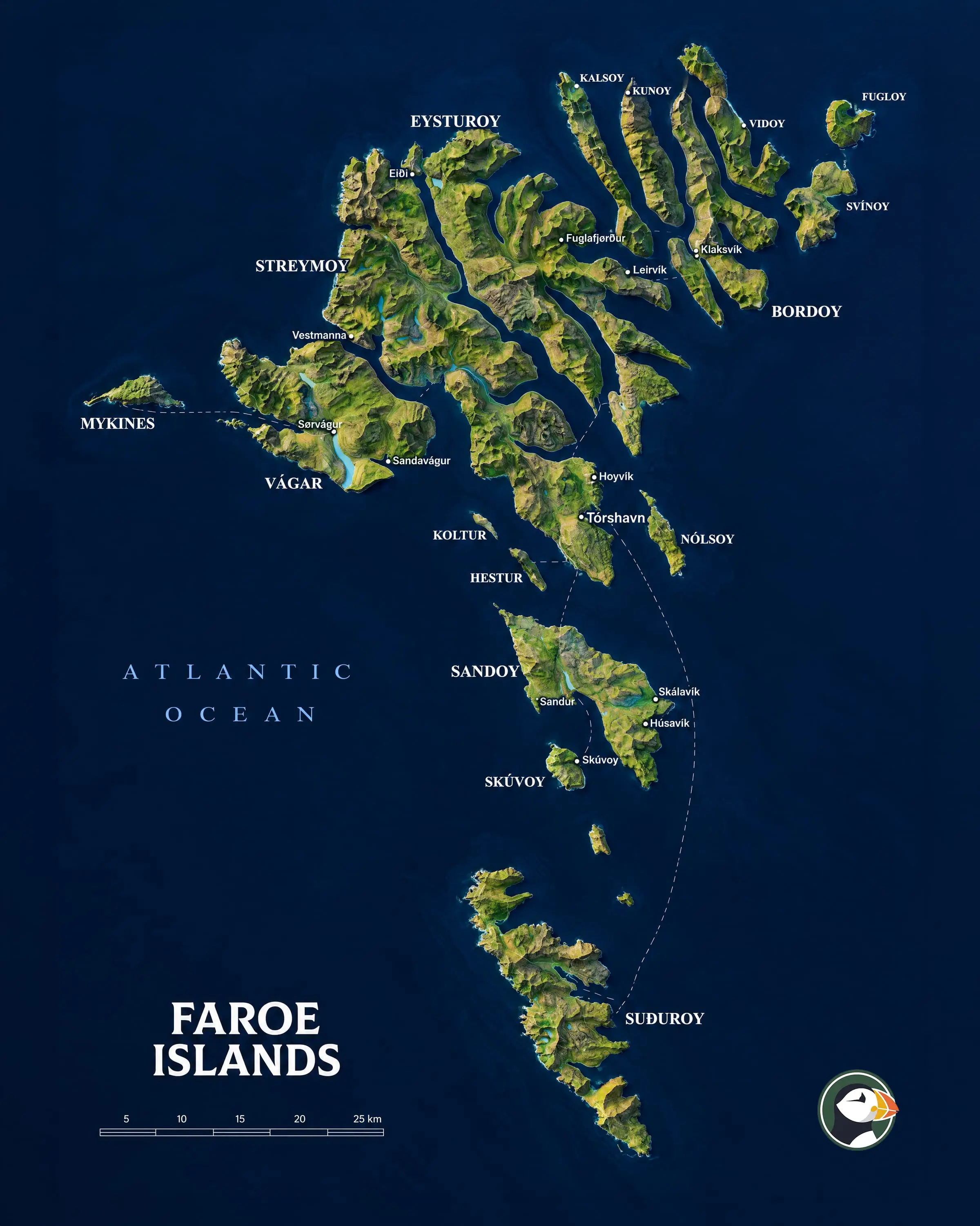
The Faroe Islands are an archipelago in the North Atlantic, located halfway between Iceland and Norway and about 320 km north-northwest of Scotland. They lie at about 62° north, some 4 degrees south of the Arctic Circle.
How many islands there are
The archipelago has 18 main islands. 17 are inhabited; the only uninhabited one is Lítla Dímun, the smallest. There are also dozens of islets and skerries.
The largest and most visited islands are:
- Streymoy: the largest, with the capital, Tórshavn.
- Eysturoy: the second largest, with Gjógv, Eiði and the highest mountain, Slættaratindur.
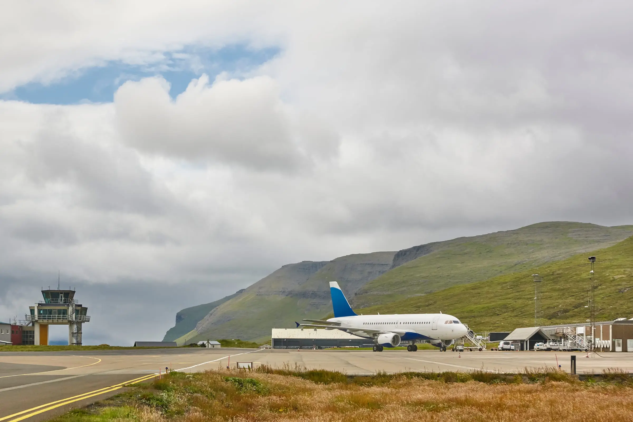
- Vágar: the airport island, with the lake above the ocean, Gásadalur and Drangarnir.
- Norðoyggjar (the northern islands): with Klaksvík, Kalsoy and Viðoy.
- Suðuroy: the one at the southern end.
- Sandoy: south of Streymoy, linked by a subsea tunnel.
Size
- Area: about 1,400 km² of land.
- Coastline: more than 1,100 km.
- No land borders with any country.
And in Europe?
The Faroe Islands are part of the Kingdom of Denmark, but they are more than 1,000 km from Copenhagen and do not belong to the European Union. We explain it in Is it a country?.
Frequently asked questions
How many islands are there in the archipelago?
18 main islands, 17 of which are inhabited. Only Lítla Dímun, the smallest, has no inhabitants. There are also many islets and skerries.
Are the Faroe Islands close to Iceland?
They are roughly halfway between Iceland and Norway. Scotland lies to the south, about 320 km away.
How big are they?
About 1,400 km² of land in total, with more than 1,100 km of coastline. No point in the country is more than a few kilometres from the sea.